If you read nothing else
- Skjervøy lies north of Tromsø, about 160 km and around four hours by car on the shorter route.[1]
- The fjords north of Tromsø become a winter gathering spot for orcas and humpback whales feeding on herring.[2]
- From Tromsø: Whale Watching in Magic Skjervoy runs 12 hours and is rated 4.71 from 1,211 reviews.[3]
- Starting at US$356, you get pay-later reservations and free cancellation until 24 hours before.[3]
- In September/October, herring move northeastward toward wintering areas in northern Norway.[4] Winter is when orcas and humpbacks gather to feed on them.[2]
- Top choice Magic Skjervøy from US$356 Duration12 hours[3]Rating4.71 from 1,211 reviews[3]StyleLong whale watching day Check availability
- Skjervøy RIB from US$338 Duration12 hours[5]Rating4.78 from 1,281 reviews[5]StyleRIB whale watching day See this tour
- RIB Boat Tour from US$391 Duration12 hours[6]Rating4.56 from 307 reviews[6]StyleSmall-group RIB boat day See this tour
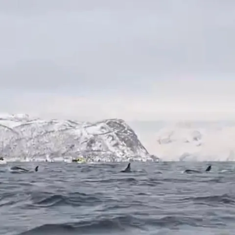
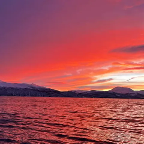
In September/October, the herring migrates northeastward to the main wintering areas off the coast and in fjords in northern Norway.
A small harbour town with an Arctic wildlife payoff
Travel there
Where Skjervøy Sits, and How Far North
Skjervøy island is a place in the far north of Norway, where the road ends and the sea opens out. It sits beyond Tromsø, and the shorter route between the two is about 160 kilometres and takes around four hours by car, depending on ferry connections, traffic and road conditions.[1] Even from Tromsø, which already feels perched on the edge of the map, the journey north is a real expedition through tunnels, bridges and fjord views. The route is not a straight highway; it bends with the coast.
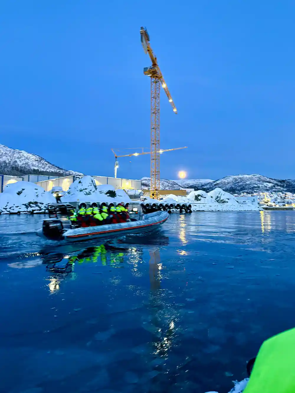
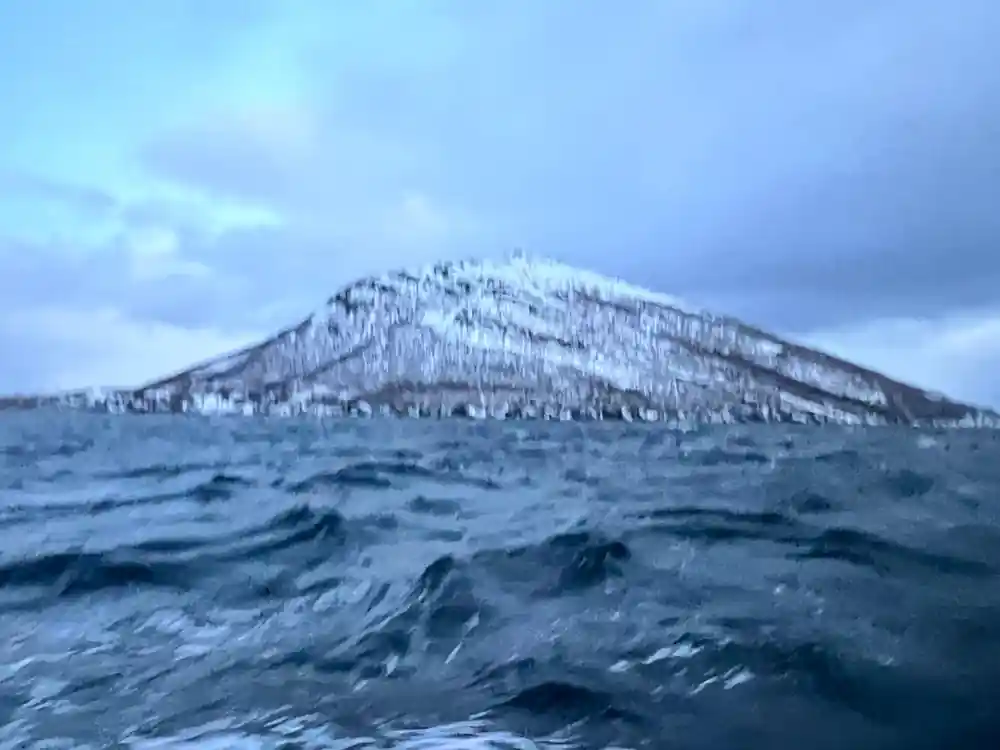
The landscape is classic Arctic Norway: steep-sided islands, bare mountains, deep fjords and a horizon that shifts with the weather. Snow settles early and stays late, and the light can be soft pink in the morning, flat grey at noon and brilliant before dark. This is not a manicured setting; it is raw, open and quietly dramatic. In winter, layers of white make the dark water look almost black, and every boat on the horizon seems to be heading somewhere important. The colours are muted, with only the occasional red boathouse to break the white.
This is far north by any measure. The polar night in Tromsø runs roughly 27 November to 15 January, while the midnight sun is typically from about 20 May to 22 July.[9][11] The local football club plays at Romssa Arena, 350 kilometres north of the Arctic Circle.[12] Skjervøy lies even farther north, so the winter dark is deeper and the summer light longer. For anyone curious about what the Arctic really feels like, this is the edge of it, not a postcard. That is what makes this corner of Norway so evocative.
The Size of the Town
Travellers sometimes ask about Skjervøy's population before they visit. The honest answer is that this is a small settlement, and the town can be explored comfortably on foot without needing a detailed checklist. There are no big crowds, no chain hotels along the waterfront, no sense of a place performing for visitors. The scale is modest, and the streets stay quiet even when a whale trip is about to leave. If you are expecting a resort, you will be surprised; if you are looking for authenticity, you have found it.
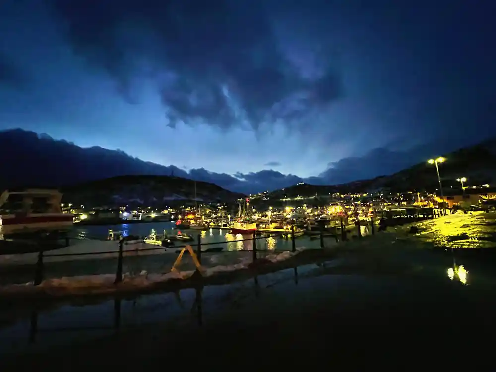
Around the harbour, boathouses and wooden buildings face the water, and the streets have the easy pace of a place where weather and work come first. A wander from the quay to the edge of town takes you past fishing gear, drying racks and the everyday clutter of a community that lives with the sea. The mountains rise behind the houses, and the water is never far from view. In the hush of a winter afternoon, you can hear the rigging of boats clinking in the harbour. The town works at the pace of a harbour, not a hotel.
The island's scale is part of its appeal. You are not here for a long list of sights; you are here to be somewhere real, with one extraordinary thing happening offshore. Skjervøy town rewards those who stop, look and listen. It is the kind of place where a short walk and a cup of coffee can feel like the whole point. A whole afternoon can dissolve into watching the light change.
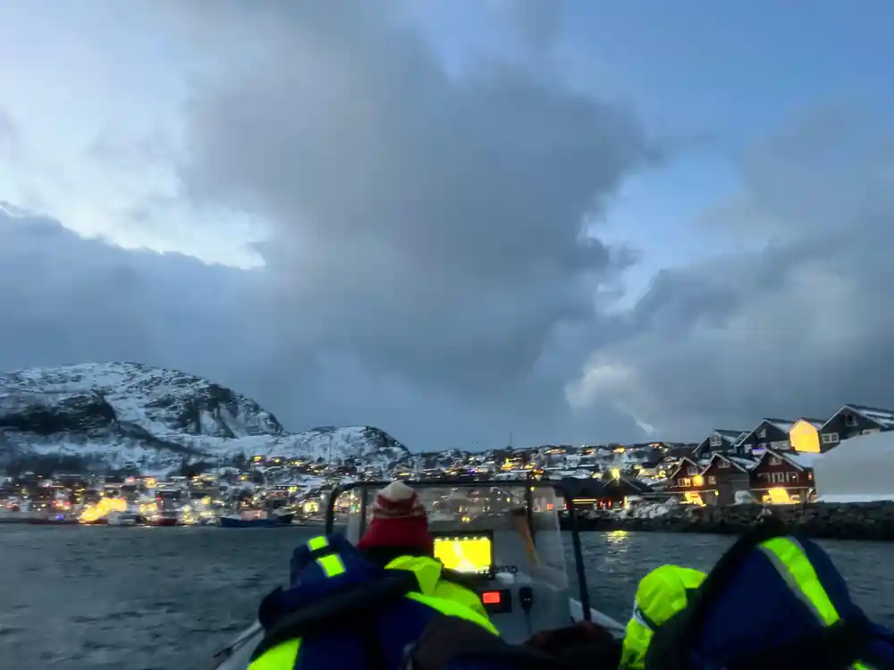
Skjervøy's working waterfront under winter light
A Working Fishing Harbour
Skjervøy is a working fishing harbour, and the fish are the thread that ties the town and the whales together. Norwegian spring-spawning herring migrates northeast in September/October to main wintering areas along the coast and fjords of northern Norway.[4] The harbour is the reason the settlement exists, and it still sets the rhythm of daily life. When the herring arrive, the town's purpose becomes visible in every boat and net. It is one of the reasons the whale boats come here rather than anywhere else.
When the herring are in, the harbour gets busy. Boats unload, gulls follow, and the lights stay on late. There is a practical energy here, not a tourist show. People repair nets, stack crates and keep an eye on the weather, and the sea is both workplace and wildlife stage. The smell of salt and fish, mixed with cold air, is surprisingly welcome. Even the birds seem to know when the fish are running.
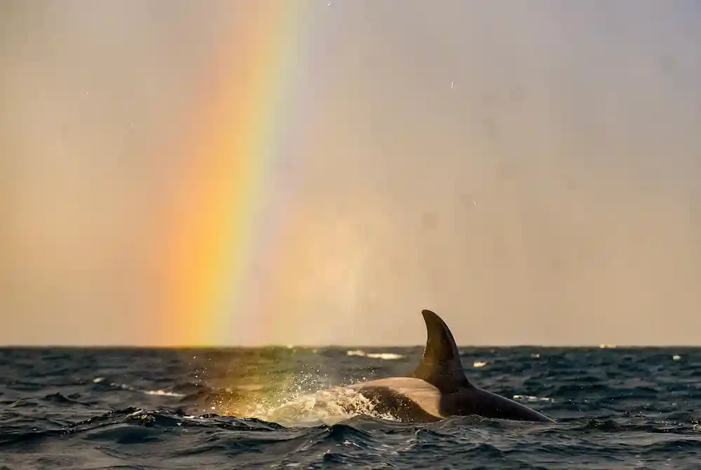
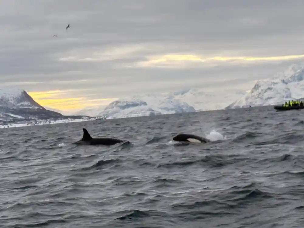
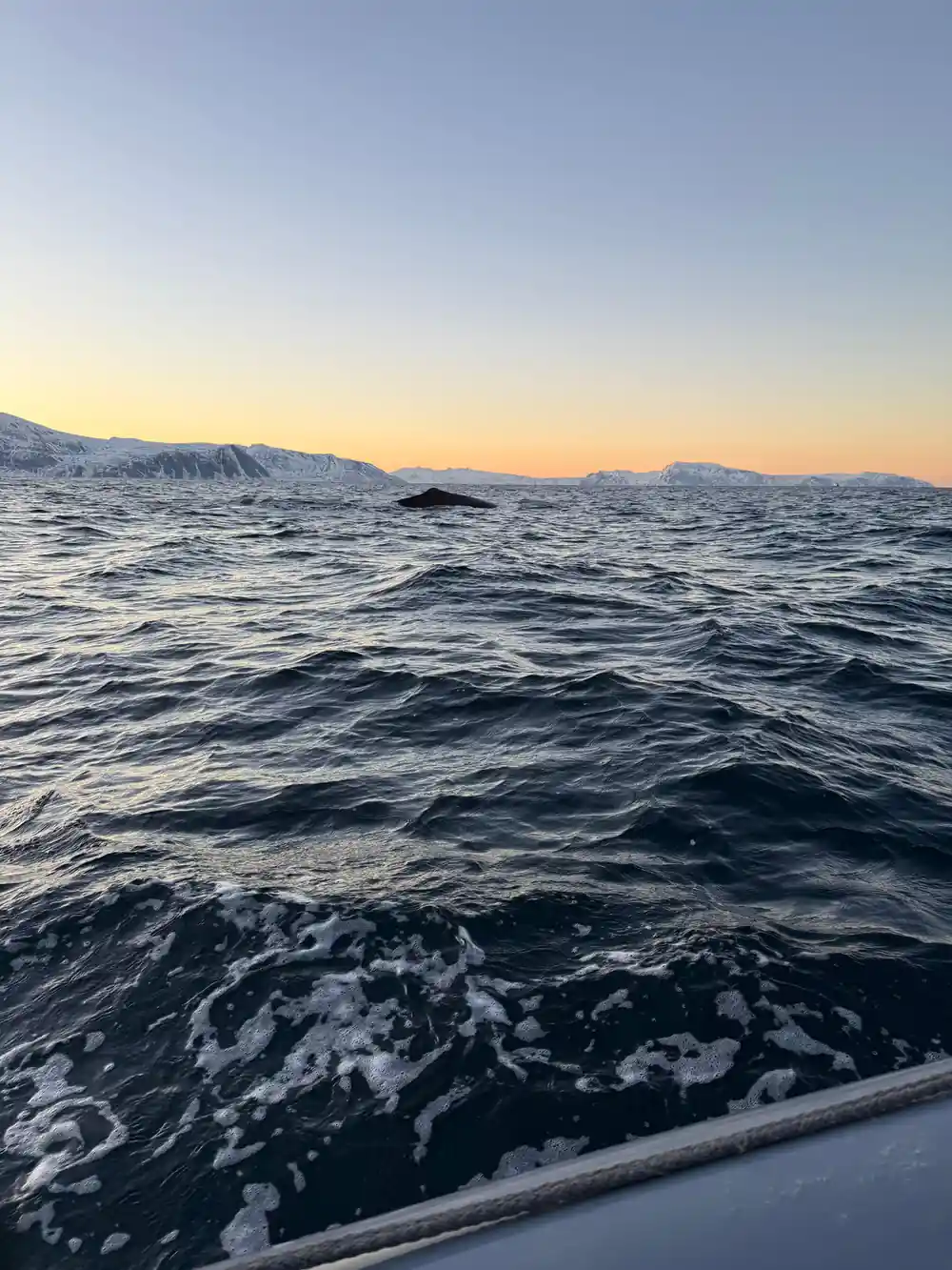
In winter, the area sees orcas and humpback whales gathering to feed on herring.[2] A small town with a working harbour suddenly becomes the centre of an Arctic wildlife event. The same waters that support the local fleet also attract some of the largest predators in the ocean, bringing the open sea right to the edge of town. On good days, you do not need a screen to see the drama; you just need to look out. That closeness is rare and worth the journey.
What There Is in the Town Itself
In the town itself, life is simple and practical. There is a ferry quay, a small harbour, shops and places to warm up, and a view of the mountains and islands that surround the settlement. You will not find grand museums or a long list of must-see stops, and that is exactly the point. The attractions here are the kind you look at, not through: the water, the sky, the working boats. A bench by the water is as good as any attraction.
Walk away from the waterfront and you are quickly into quiet residential streets and open ground. Snow lines the paths, smoke rises from chimneys, and the sky dominates every view. Skjervøy town is the kind of place where visitors slow down, watch the boats come and go, and keep an eye on the sky. It is also easy to simply stand still for a few minutes and feel how far away you are from everyday life. Listen for the clink of halyards and the cry of gulls.
If you have time before or after a whale trip, the town works best as a base for fresh air and quiet views. Carry a thermos, take a walk along the shoreline, and let the Arctic do the rest. There is a particular calm in a place that knows how to wait out the winter. The hours pass slowly, but that is rather the point. There is no need to pack the day with plans.
from US$356
This 12-hour whale watching excursion from Tromsø has an English-speaking instructor and free cancellation until 24 hours before.[3]
Getting to Skjervøy
Getting to Skjervøy takes planning. The shorter route from Tromsø is approximately 160 kilometres and takes around four hours by car, depending on ferry connections, traffic and road conditions.[1] The trip from Tromsø Airport to the city centre is roughly 10-20 minutes.[7] If you are flying in, those minutes matter at the start and end of a long day, so leave a little slack in your schedule. It also helps to book a tour that starts and ends in Tromsø.
The road north passes through tunnels, over bridges and onto ferry links, and the weather can change quickly. Winter driving demands care, and daylight is short. A self-drive trip can be rewarding, but it asks you to keep your attention on the road when you would rather be looking for whales. Snow removal, fog and icy stretches all have to be taken seriously. Roads are salted and ploughed, but nature still sets the rules.
The tour booked from this site is a 12-hour day from Tromsø.[3] It is a long day, but a practical way to fit a remote destination into a Tromsø-based itinerary. You leave in the dark and return in the dark, with the memory of the fjord in between. The distance is part of the reason the reward feels so complete.
A Small Town, a Very Big Reason to Come
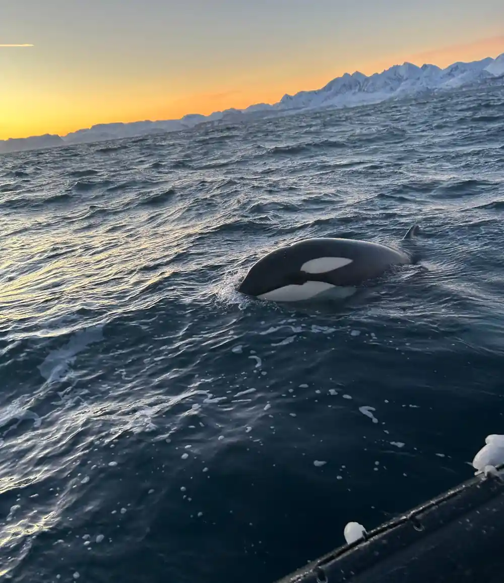
The reason most travellers find their way to Skjervøy is in the water. In winter, the area sees orcas and humpback whales gathering to feed on herring.[2] It is one of those wildlife events that happens close to shore, in a setting of snowy peaks and dark fjords, and it draws people from across the world. The town may be small, but the spectacle is enormous. For a town this size, the reputation is outsized, and the sea delivers it.
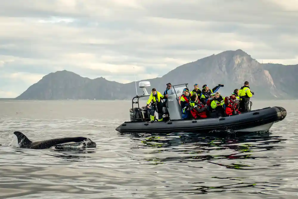
The whales themselves are enormous. Male killer whales reach about 9 metres in length and females up to 8 metres, while adult weight varies from 4.5 to almost 7 tonnes.[13] Watching an animal of that size surface beside a small boat is an experience that stays with you. It is not a distant dot on the horizon; it is a presence, a blow of breath, a tall dark fin cutting the water. The blow, the dorsal fin, the eye that looks back at you; these are the details people remember for years.
There is always a little uncertainty in a whale safari, and that is part of the excitement. A good guide reads the water, the birds and the other boats, and each day on the fjord is different. The magic of Skjervøy is that it gives you a real chance, not a zoo-like promise. When it happens, it feels earned. And even on a quiet day, the setting itself is enough.
Planning Your Winter Visit
Plan for cold. Tromsø's average winter temperature sits around −4°C.[8] Put on warm layers, gloves, a hat, and a waterproof shell; bring hand warmers if you get chilly. Comfort can turn a good day into a great one, particularly when the boat rocks and the wind bites. Layers are better than one heavy coat; the open boat adds wind chill.
In the wider Tromsø region, the northern lights may be visible from late August to early April, whenever the sky is dark and sufficiently clear.[14] If you are travelling for whales, you may get an aurora bonus on the same trip. Bring a camera that can handle low light, and keep it ready as darkness falls. The aurora can be dancing while the whales are feeding, and the darkness only helps.
In Tromsø, the polar night spans approximately 27 November through 15 January.[9] The sun may not appear at all during those weeks, but the harbour lights, the snow and the sea keep the landscape visible. Whales do not wait for daylight, and neither does the harbour. In Skjervøy, the winter day starts, ends and sometimes stays dark, yet it never feels empty. There is a strange, beautiful calm in a place where the sun takes a break.
Whale watching tour from prices
Whale watching tour options from Tromsø
When to see whales around Skjervøy
Plan your Skjervøy day
Start in Tromsø
The whale watching tour booked from this site takes 12 hours.[3]
Pick the season
During winter, herring draws orcas and humpback whales into the fjords north of Tromsø for feeding.[2]
Dress in layers
Tromsø's average winter temperature sits around −4°C.[8]
Allow airport time
The trip from Tromsø Airport to the city centre is roughly 10-20 minutes.[7]
Keep an eye on the sky
Between late August and early April, the northern lights can appear when the sky is dark and clear enough.[14]
Ready to meet whales in Skjervøy?
from US$357Reserve now & pay later