If you read nothing else
- The shorter route from Tromsø to Skjervøy is approximately 160 kilometres and takes around four hours by car.[1]
- From Tromso: Whale Watching in Magic Skjervoy is a 12-hour day from Tromsø with an English-speaking instructor.[2]
- The tour is listed from US$356, with reserve now and pay later.[2]
- In winter, the area attracts orcas and humpbacks that come to feed on herring.[3]
- In Tromsø, the polar night spans approximately 27 November through 15 January.[4]
- Top choice Magic Skjervøy Whale Watch from US$356 Duration12 hours[2]LanguageEnglish[2]CancellationFree up to 24 hours[2]PaymentReserve now, pay later[2] Check availability
- RIB Whale Watching Tour from US$338 Duration12 hours[5]LanguageEnglish[5]CancellationFree up to 24 hours[5]PaymentReserve now, pay later[5] See this tour
- RIB Boat Tour from US$391 Duration12 hours[6]LanguageEnglish[6]CancellationFree up to 24 hours[6]PaymentReserve now, pay later[6] See this tour
It takes about 10-20 minutes to travel to/from the airport and city centre.
A long road, but the whales make it worth it
Travel there
The Numbers That Explain the Whole Day
The shorter route from Tromsø to Skjervøy is approximately 160 kilometres and takes around four hours by car, depending on ferry connections, traffic and road conditions.[1] That is the distance travellers are really asking about when they plan this trip. The second number that shapes this day is 12 hours, the full length of the whale watching tour from Tromsø.[2] Together, the two numbers explain why this is a proper expedition, not a quick harbour cruise. You travel north to where the whales gather, and you give the day over to the road, the sea and the weather.
Whales gather this far north for a simple reason found in the natural calendar. In winter, the area sees orcas and humpback whales gathering to feed on herring.[3] In September/October, Norwegian spring-spawning herring travel northeast to the main wintering areas in northern Norway, off the coast and inside fjords; this happens before winter.[8] The waters around Skjervøy lie within reach of those wintering areas. The drive is the price of admission to a natural feeding event that happens every dark season.
Because the whole trip is built around wild animals, no operator can promise an exact sighting. What the listing does promise is a full day with an English-speaking instructor, a boat that can search the feeding grounds, and a flexible booking policy.[2] For many travellers, the distance becomes part of the story. The hours on the road build anticipation, and the reward is a rare chance to watch whales in their winter habitat.
The Route North: Fjords, Ferries and Winter Roads
The road journey starts in Tromsø and follows the main road east, then turns north through fjord country toward Skjervøy. This is not a motorway drive. The route winds around fjords, crosses short ferry connections and rolls over low, weather-stripped hills. Snow can be heavy, and the sea is never far away. It is one of those Arctic roads where the driving itself becomes part of the experience, especially under a winter sky.
The drive depends on ferry connections, traffic and road conditions, and a four-hour estimate can easily grow.[1] The full tour lasts 12 hours.[2] If you have ever wondered what the route back looks like, it is the same road in reverse, usually quieter and often lit by the last of the twilight.
Travellers who join the tour from Tromsø do not need to worry about the logistics of the road. The boat operator arranges the transfer north, and the schedule is built around the whale grounds. Still, it helps to know the route. Once you see the fjords opening to the sea and the snow-covered peaks rising on both sides, you understand why Skjervøy sits where it does.
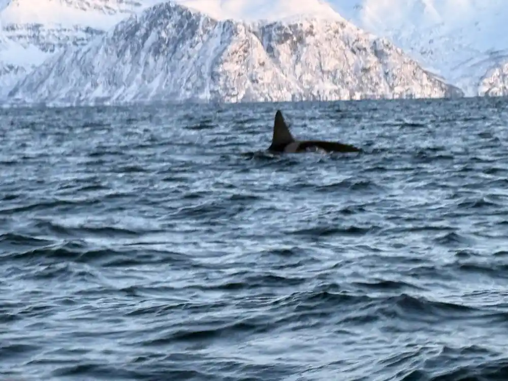
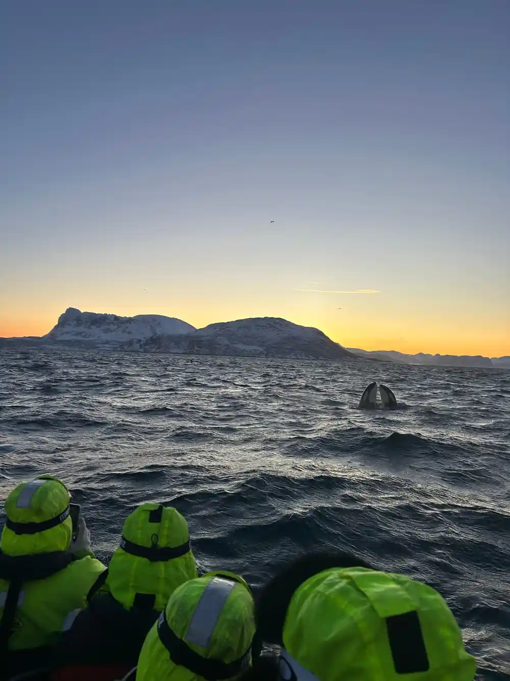
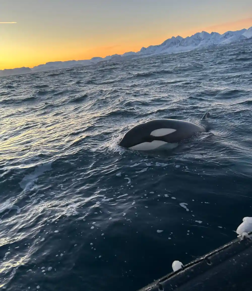
An orca lifts its head out of the water during a winter whale watching day near Tromsø.
A Long Day, Most of It on the Road
The tour booked through this site is From Tromso: Whale Watching in Magic Skjervoy, and the listing is clear about the shape of the day. It is a 12-hour tour with an English-speaking instructor.[2] It is priced from US$356.[2] Book now and settle the payment later, with cancellation allowed up to 24 hours before departure for a complete refund.[2] That combination of length, price and flexibility tells you the operator expects this to be the main event of your day, not something you fit around other plans.
The whales gather where the herring is, and the boat needs time to search the area. The transfer from Tromsø to the Skjervøy area is itself a large part of the schedule. Add a cold winter day, possible ferry waits and the return drive, and 12 hours becomes reasonable.[2] Travellers on this tour rate it 4.71 from 1,211 reviews.[2]
A full-day tour also means you can relax into the rhythm of the trip. There is no need to rush back for another booking. The coach does the driving, the crew watches for blows and fins, and you are free to focus on the frozen coastline, the light and the animals. For anyone used to fast day trips, this one asks for patience, and the reward is usually worth it.
Driving North Through the Polar Night
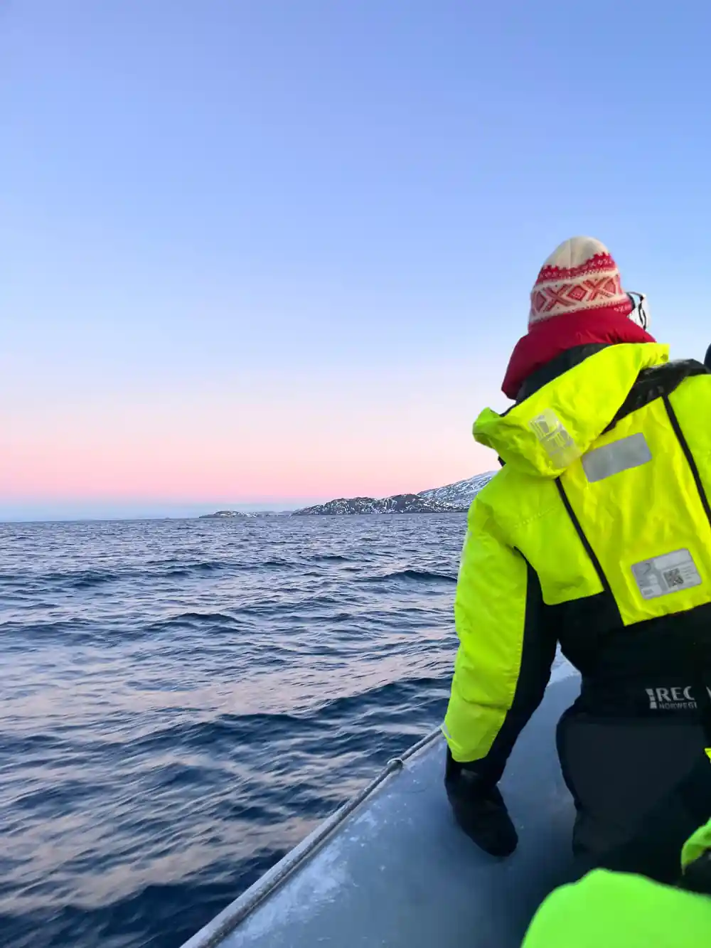
If you are travelling in deep winter, the polar night shapes the whole experience. In Tromsø, the polar night spans approximately 27 November through 15 January.[4] The sun stays below the horizon, and daylight appears as a long, blue twilight around midday. Driving through that light is quieter and more atmospheric than a normal winter drive, especially when snow-covered peaks catch the last colour. It also means the road may be dark when you set out and dark when you return.
The same dark sky gives you a chance to see the aurora. The northern lights may be visible in the Tromsø region from late August to early April, whenever the sky is dark and sufficiently clear.[9] On a night with clear patches, the drive north can offer a light show before the whales even appear. Keep cameras and eyes on the sky as well.
Planning around the polar night is easier than it sounds. You do not need to adjust your body clock to the dark. The tour schedule has been built for this season, and the operator knows exactly how to work with short daylight. Just be ready for a day that feels more like a long Arctic evening than a normal daytime excursion.
from US$356
The full-day whale watching trip from Tromsø to the winter feeding grounds near Skjervøy, with an English-speaking instructor and free cancellation.
Reaching Skjervøy Without the Coach
Not everyone wants to drive an unfamiliar Arctic route, and the 12-hour tour from Tromsø takes care of the planning.[2] For those who do want to make their own way, the route is possible with care. The shorter route from Tromsø to Skjervøy is approximately 160 kilometres and takes around four hours by car, depending on ferry connections, traffic and road conditions.[1]
Check ferry times the night before; a missed connection can add serious time. Fill up with fuel in Tromsø, carry warm layers even though the car is heated, and set off early. For travellers flying in, the city centre is about 10-20 minutes from Tromsø Airport.[10] Arriving the day before is still practical for an early start.
Driving independently gives you freedom, but it also means you carry the responsibility for weather and road conditions. Winter tyres, a charged phone and a flexible plan all help. If the weather closes in, the tour operator has the local knowledge to adjust. On a clear day, however, the route is a beautiful drive in its own right.
An Arctic Road, And What Winter Does to It
Tromsø's average winter temperature sits around −4°C.[7] On the road north, exposed stretches can feel colder, and wind chill on the boat is another story. Snow and ice are part of the deal, and the short winter day means you may drive in darkness for both the outward and return legs. The road is maintained and the driving is manageable, but only if you slow down, leave space and respect the conditions.
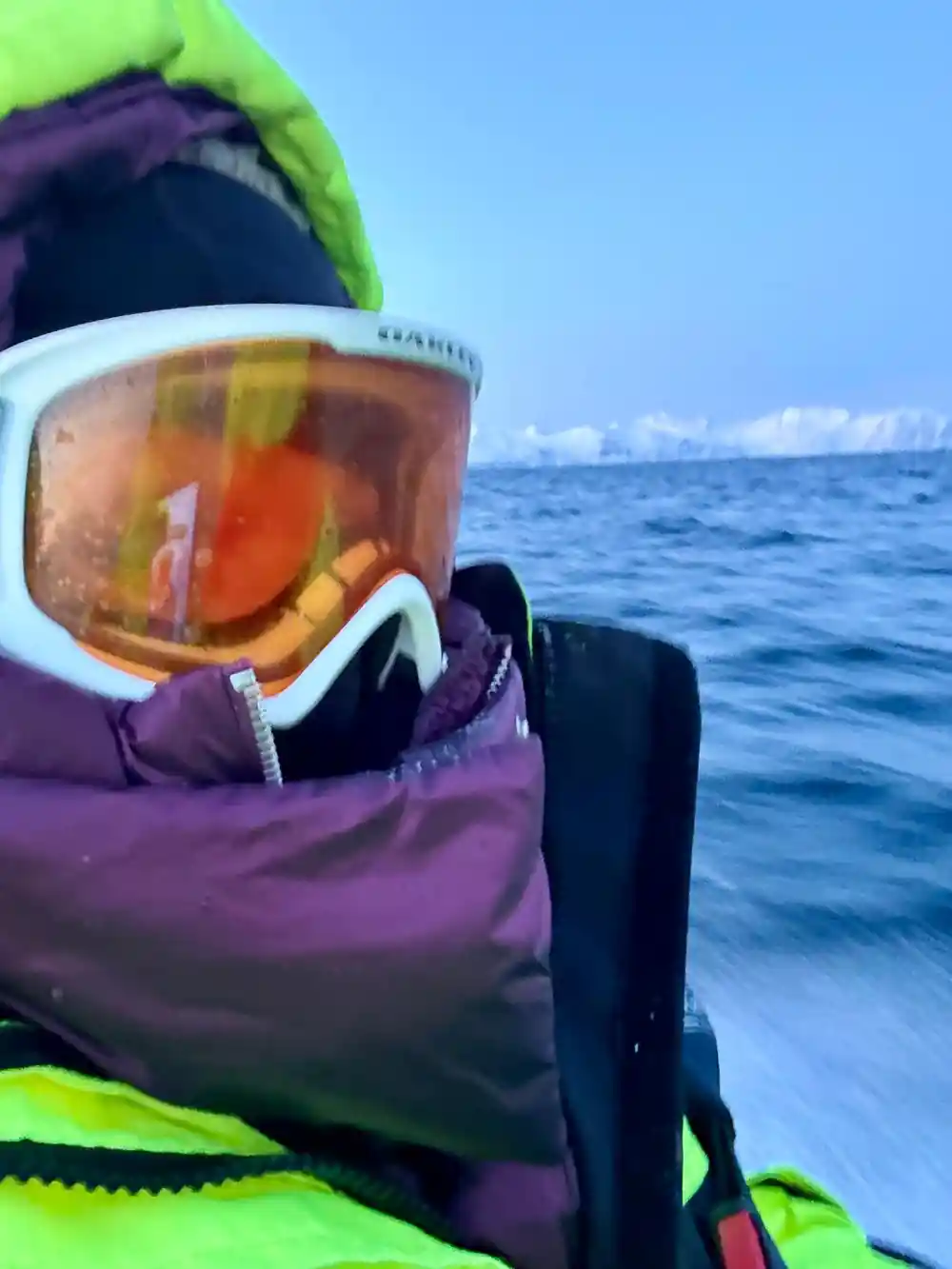
Clothing matters as much as the car. Warm boots, a hat and gloves, plus a windproof outer layer, can make a freezing deck into somewhere you would want to remain. This is a winter trip, and comfort on the road is really comfort for the whole day. Pack for time outside; you probably will have it.
Layering is the most practical approach. A thermal base, a fleece and a thick shell will serve you better than one heavy coat. The same layers work on the drive north, during brief stops and on the boat. Keeping your hands warm is especially important for holding a camera, and a warm hat makes the cold wind far easier to ignore.
What Happens When You Get There
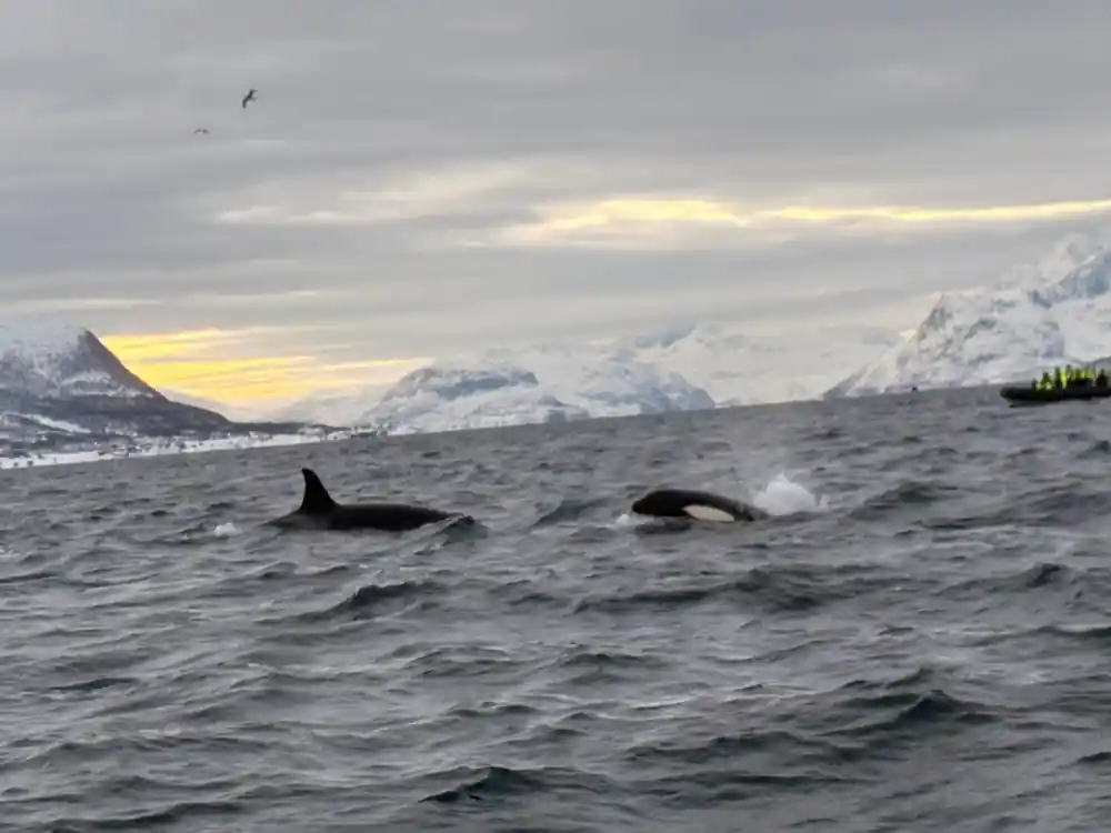
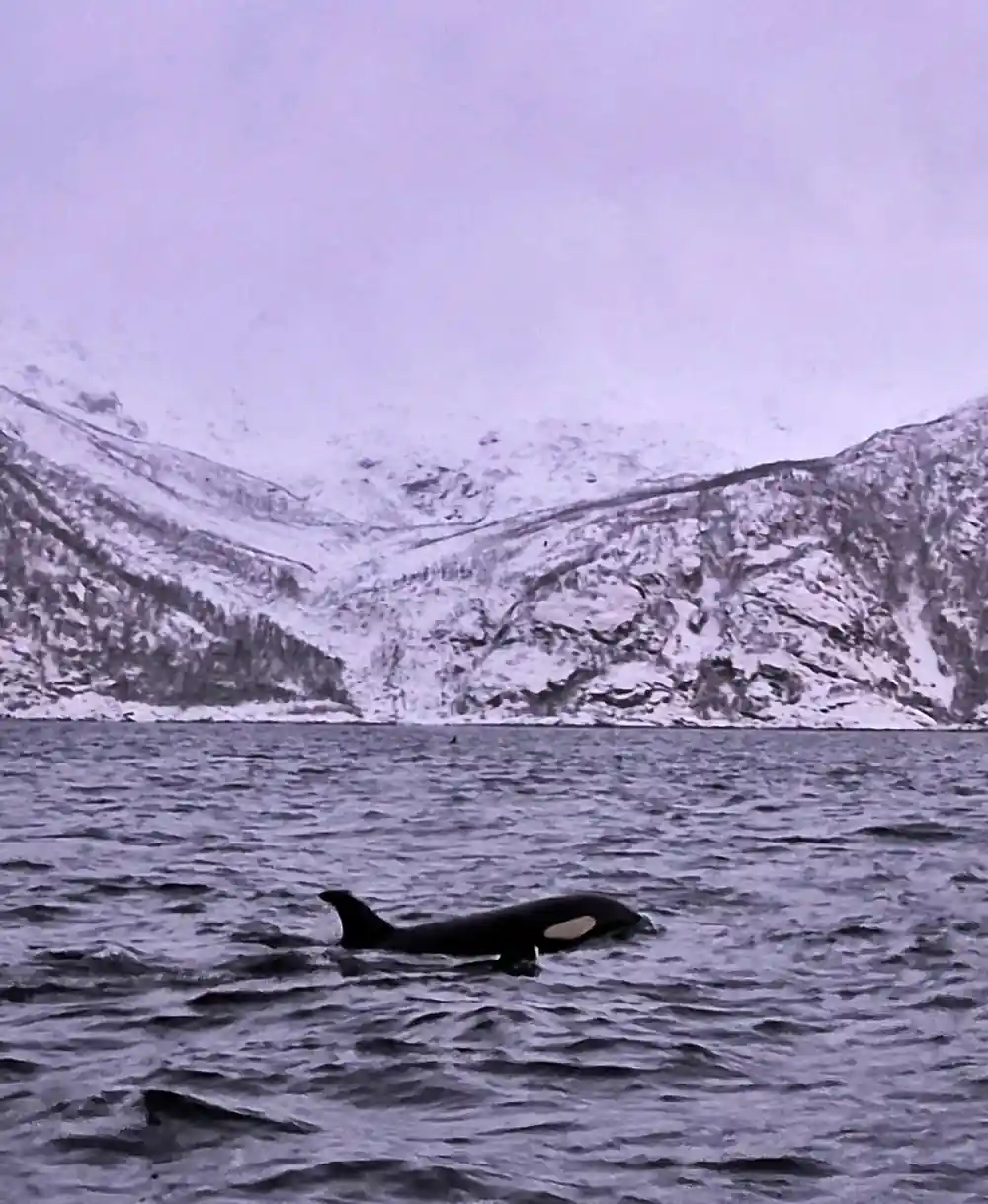
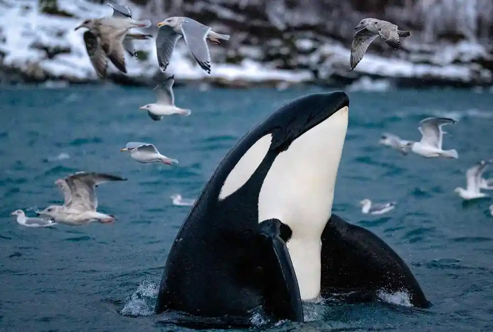
Once the boat reaches the herring grounds, the long drive makes sense. In winter, the area sees orcas and humpback whales gathering to feed on herring.[3] Male killer whales reach about 9 metres in length, while females reach up to 8 metres; adult weight varies from 4.5 to almost 7 tonnes.[11] Watching an animal that size surface beside a RIB is the kind of moment that stays with you. Norwegian rules also keep whale-watching boats at a respectful distance: they must stay at least 0.2 nautical miles (370 metres) from a vessel engaged in fishing, a seine or fixed gear.[12]
Back in Tromsø, travellers rate this tour 4.71 from 1,211 reviews.[2] The price is from US$356, and the booking terms include reserve now, pay later and free cancellation up to 24 hours in advance.[2] If you go prepared for a long Arctic day, the road, the cold and the uncertain weather all become part of the memory.
The whales are the reason for the drive, but the journey itself is the frame around the picture. You will remember the frozen fjords, the ferry crossings and the quiet dark road as much as the moment the first whale appears. That is the real value of a day like this: it is not only a whale watching trip, it is a full immersion in the winter life of northern Norway.
How travellers rate the Skjervøy whale watching options
Compare whale watching from-prices
Adult from-prices in US dollars from tour listings[2] and[5].
Plan around the Arctic calendar
Plan the trip
Choose a winter date
The whale season runs through the cold months. In winter, the area attracts orcas and humpbacks that come to feed on herring.[3]
Book the full-day tour
Book the From Tromso: Whale Watching in Magic Skjervøy excursion from the site, from US$356.[2] You can reserve now and pay later.[2]
Prepare for polar dark
Between 27 November and 15 January, Tromsø is in polar night.[4] Daylight is limited, so plan for twilight driving.
Dress for open water
Average winter temperatures in Tromsø are around −4°C.[7] On the boat, wind makes it feel colder, so add layers.
Keep your evening free
The full tour lasts 12 hours.[2] Do not book another activity for the same day.
Ready to spend the day on the road to Skjervøy?
from US$357Reserve now & pay later